


They are already transforming the field.
Producers, mills and agricultural engineers across Latin America already making decisions with Kaax.
From the imageto the decision.
Three steps to turn every hectare into data you can act on. No code, no new hardware, no waiting.
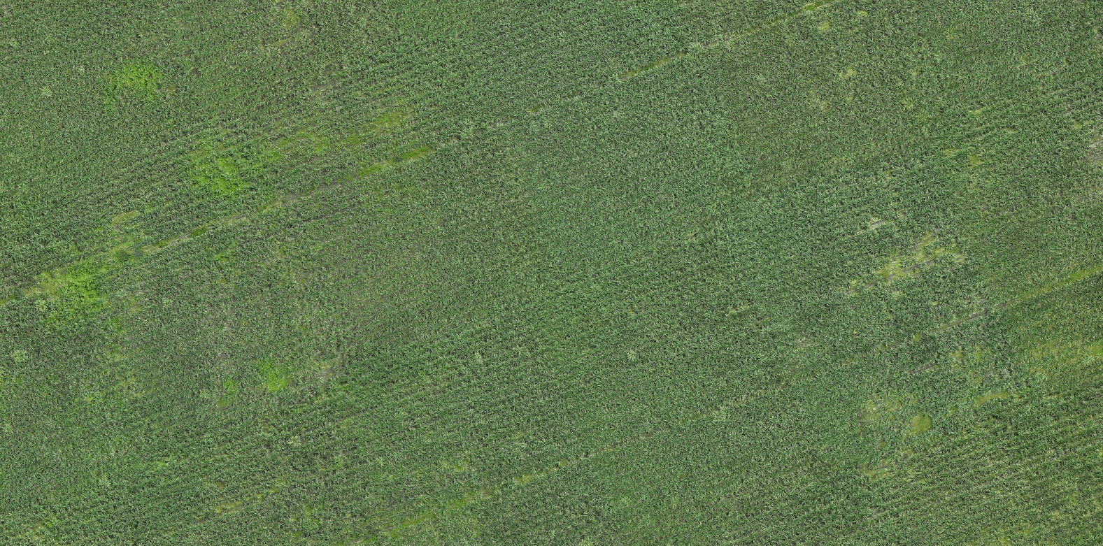
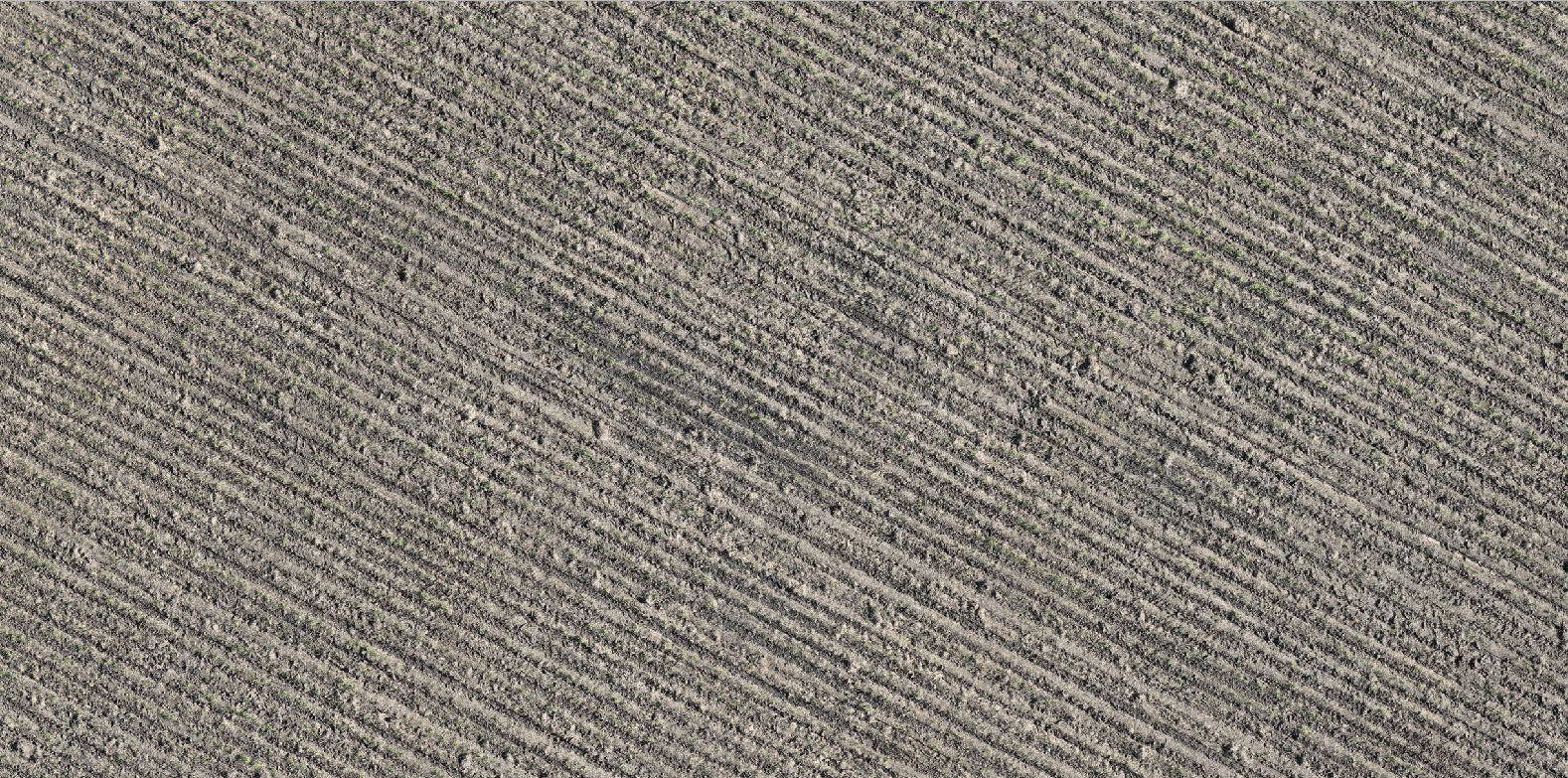
You upload your imagery
Drone flights or satellite captures. Kaax works with what you already have, with no new equipment to buy.
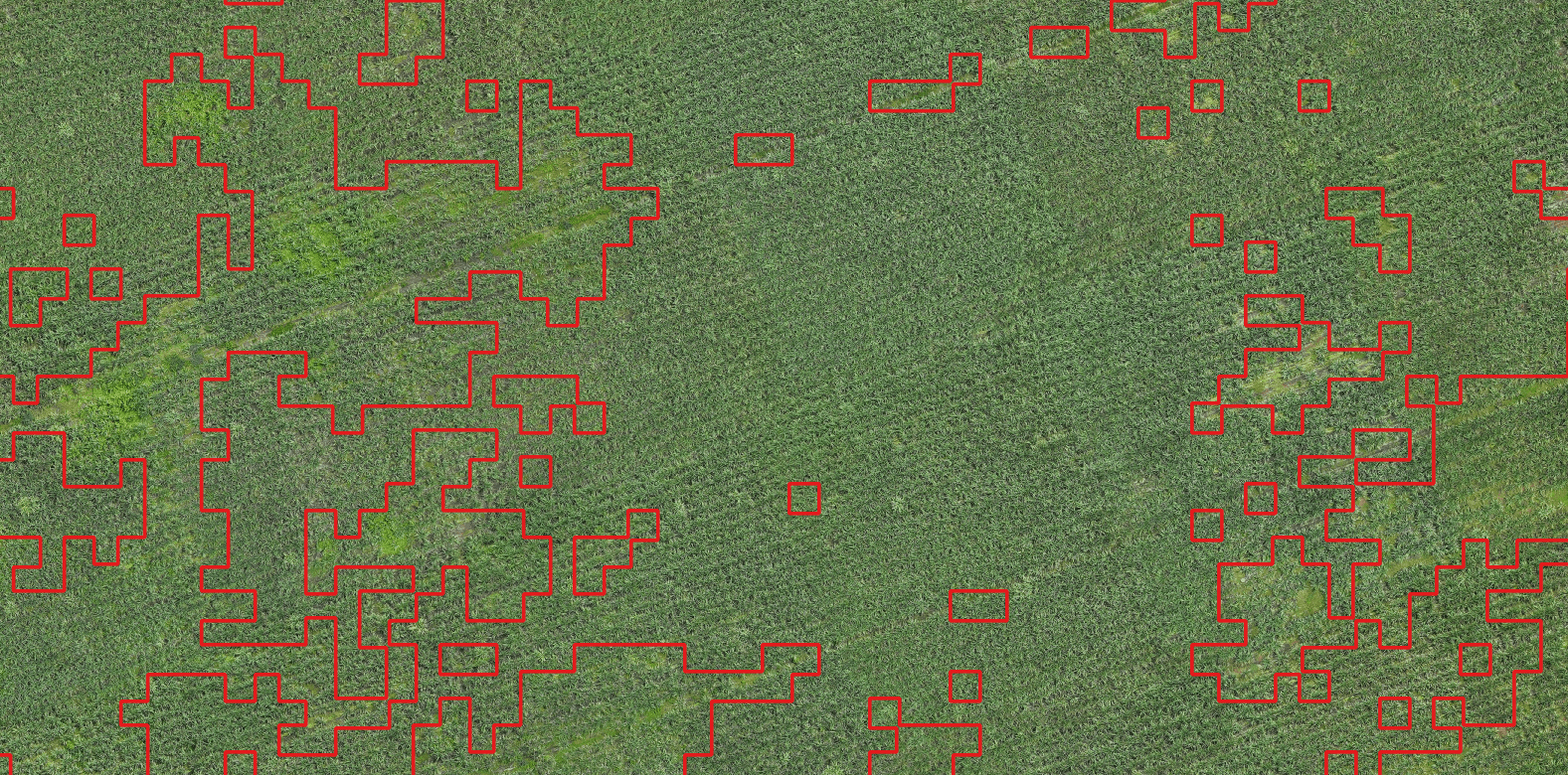
Kaax analyzes it
Models that detect, count, classify and measure every plant. You decide what to measure, without writing a line of code.
You decide with real data
Actionable maps, counts and reports, ready to take to the field the same day.
A model for every question in the field.
It isn't a generic tool. You pick what you need to know and Kaax trains that model on your own imagery.
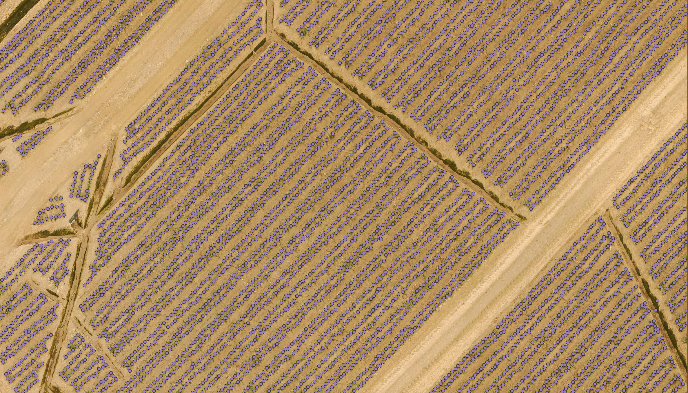
Point detection
Counts every plant, tree or palm with centimetric precision. Density, mortality and vigor, plot by plot.
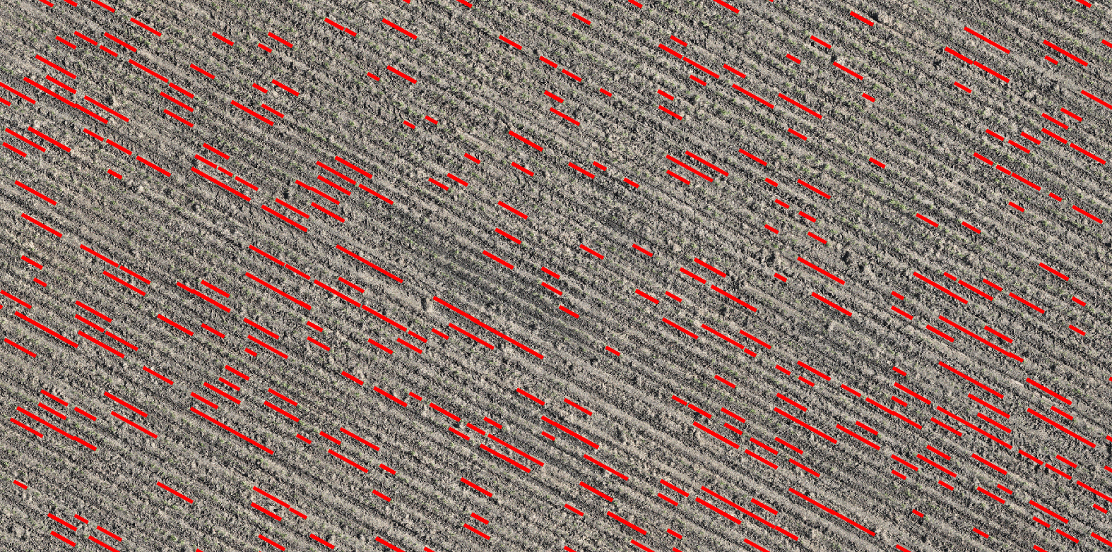
Line detection
Reads furrows, channels and gaps between rows. Measures the real quality of the planting.
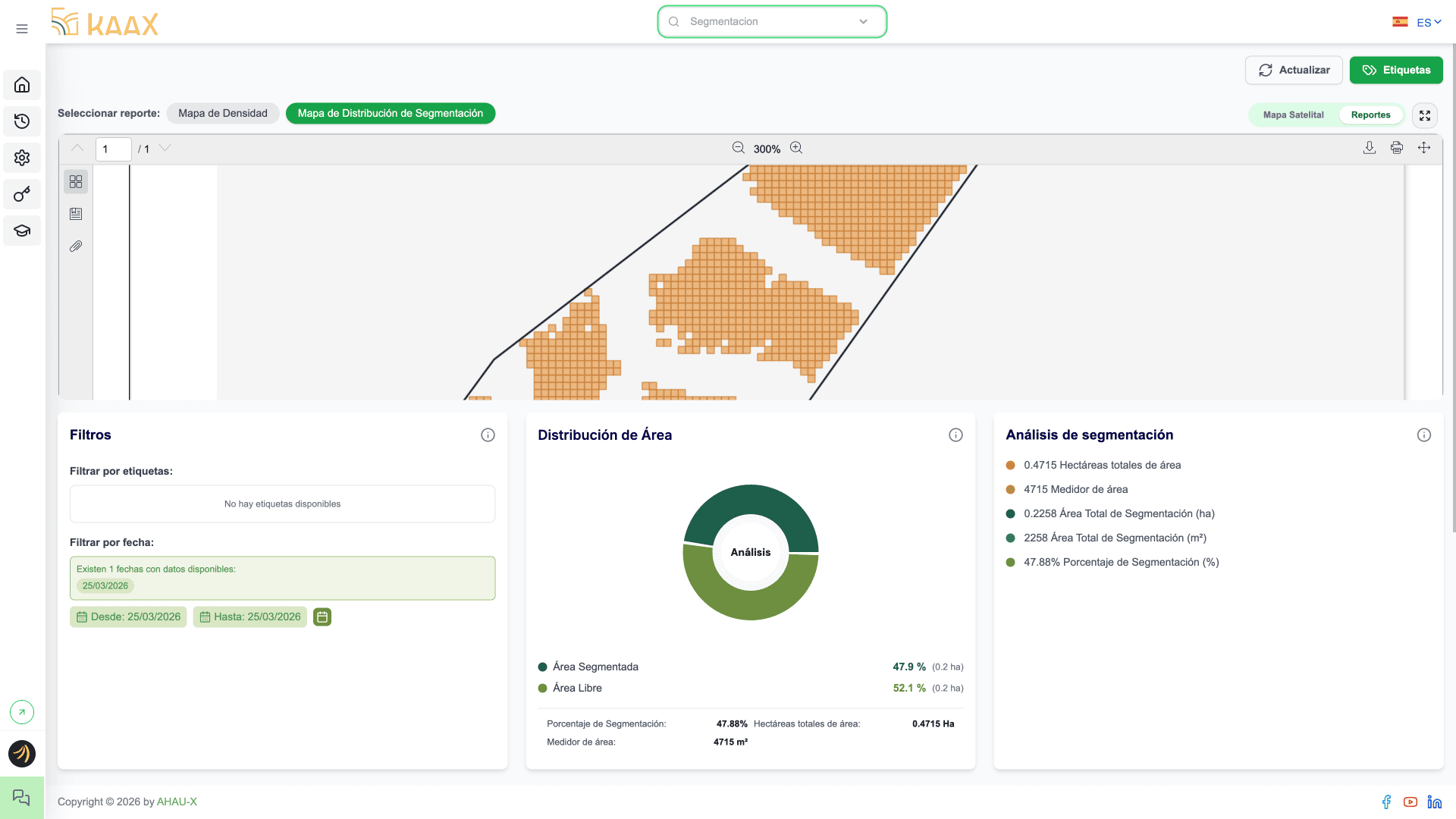
Segmentation
Classifies soil, weeds and stress zones into polygons. Maps ready for variable-rate prescriptions.
Full autonomy over your models.
Grab a coffee or head to the field: Kaax runs 24/7 and you come back to finished reports, built your way. We never step into your process.
With Kaax
- Your models are yours
- Runs local or in the cloud
- Clear data and costs
- Zero third-party lock-in
With others
- Closed or locked models
- Limited access to your data
- Hidden usage costs
- Vendor dependency
Agricultural intelligence should serve you, not tie you down.
What took weeks now takes seconds.
Kaax isn't just easier. It's another scale entirely: faster, more precise and cheaper than manual analysis.
0x
faster than manual analysis
0.00%
model precision
$0.000
per hectare analyzed
And it's already happening in the field
+0
hectares processed
+0M
data points
+0
active producers
+0
models created
+0
Latin American countries
Backed by


It works on your crop.
Kaax isn't tied to a single crop. Its models already read sugarcane, coffee, palm, banana and many more.
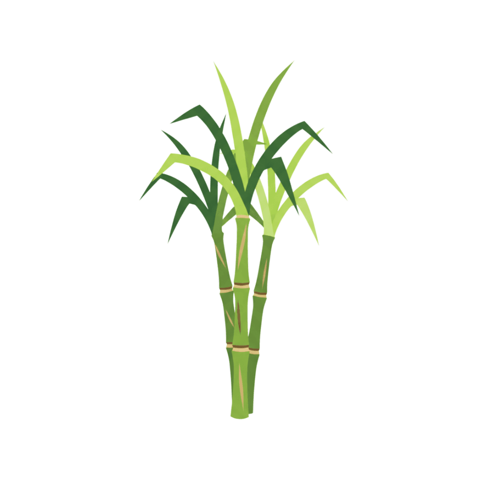
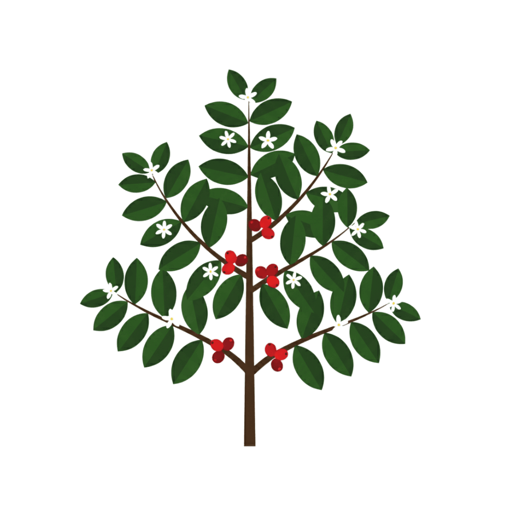
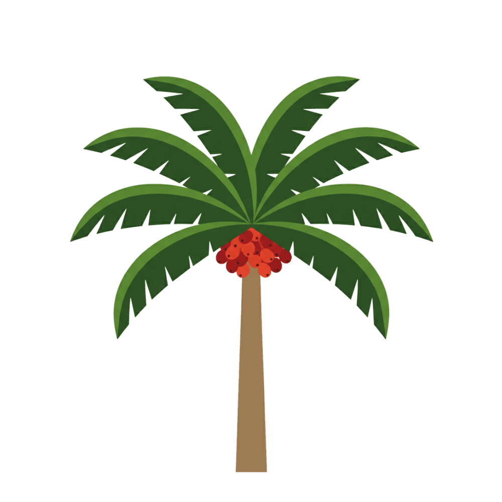
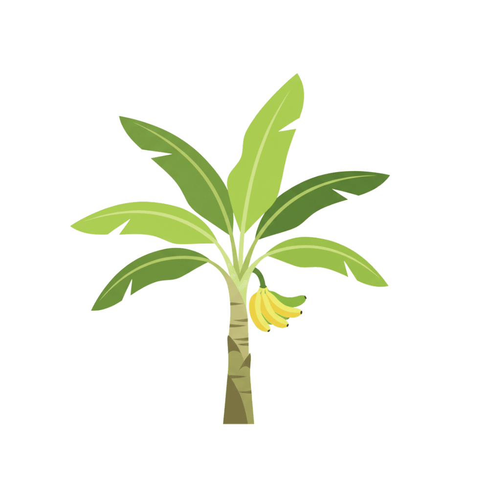

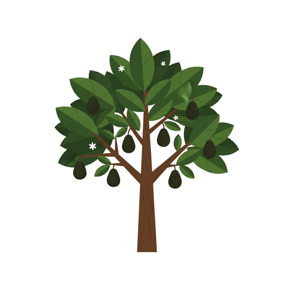
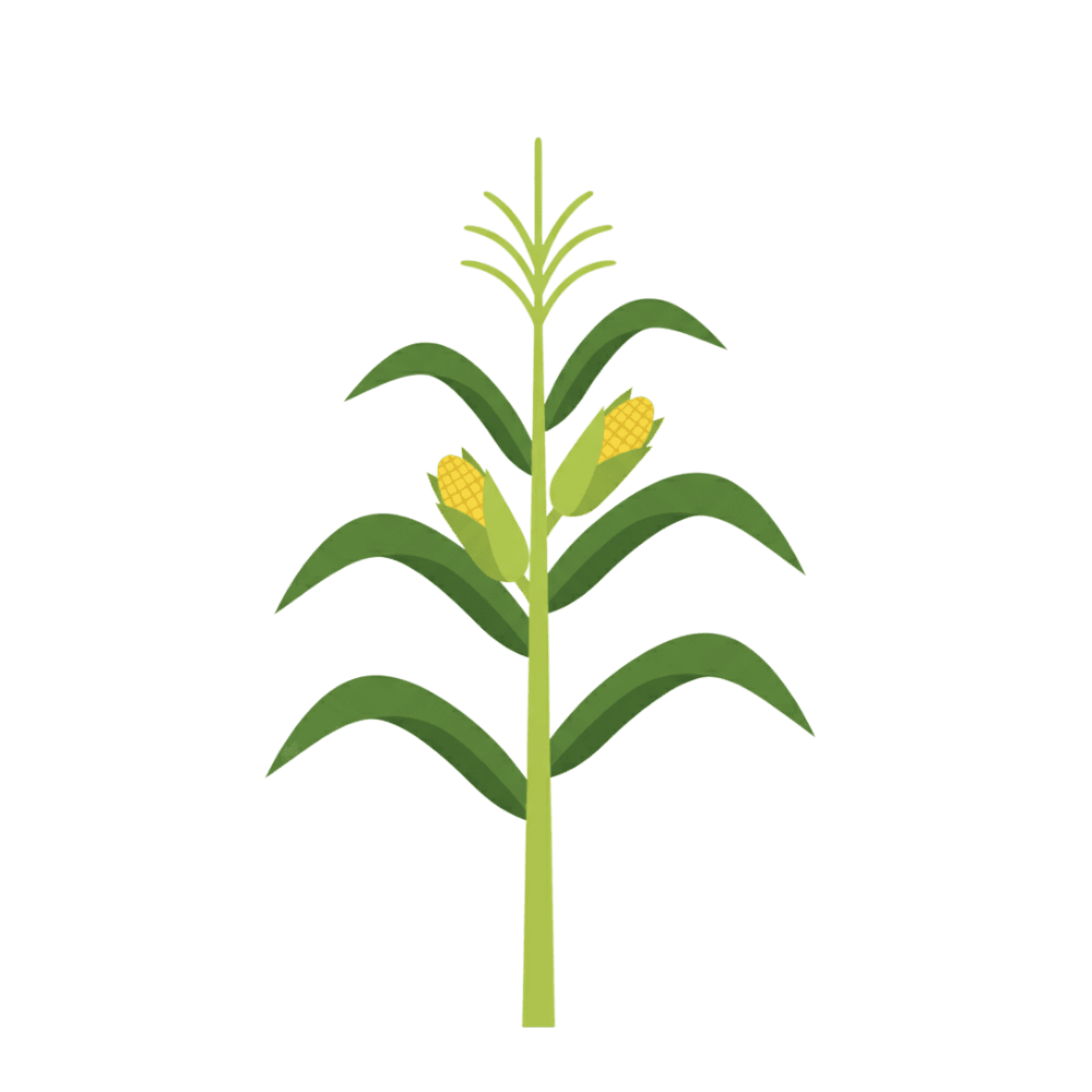
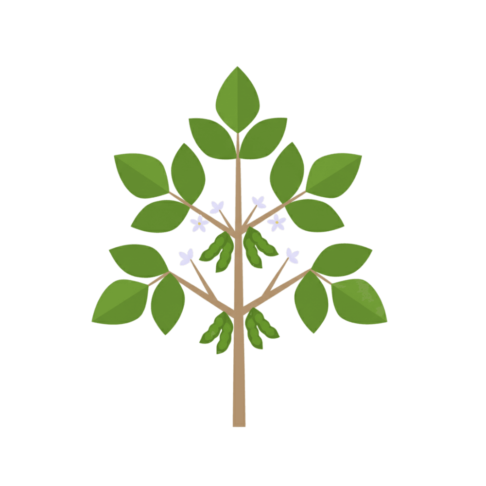

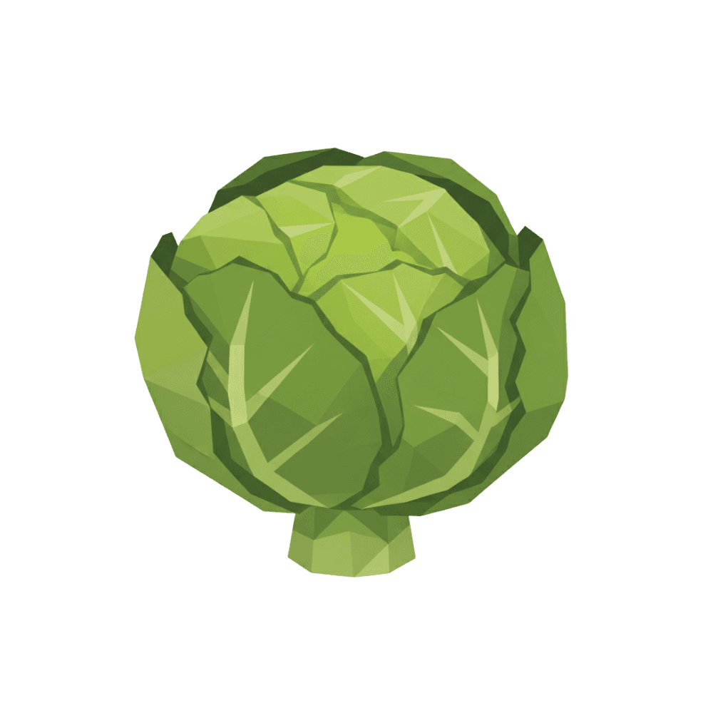
Don't see yours? With Kaax you train a model for any crop, without writing a line of code.
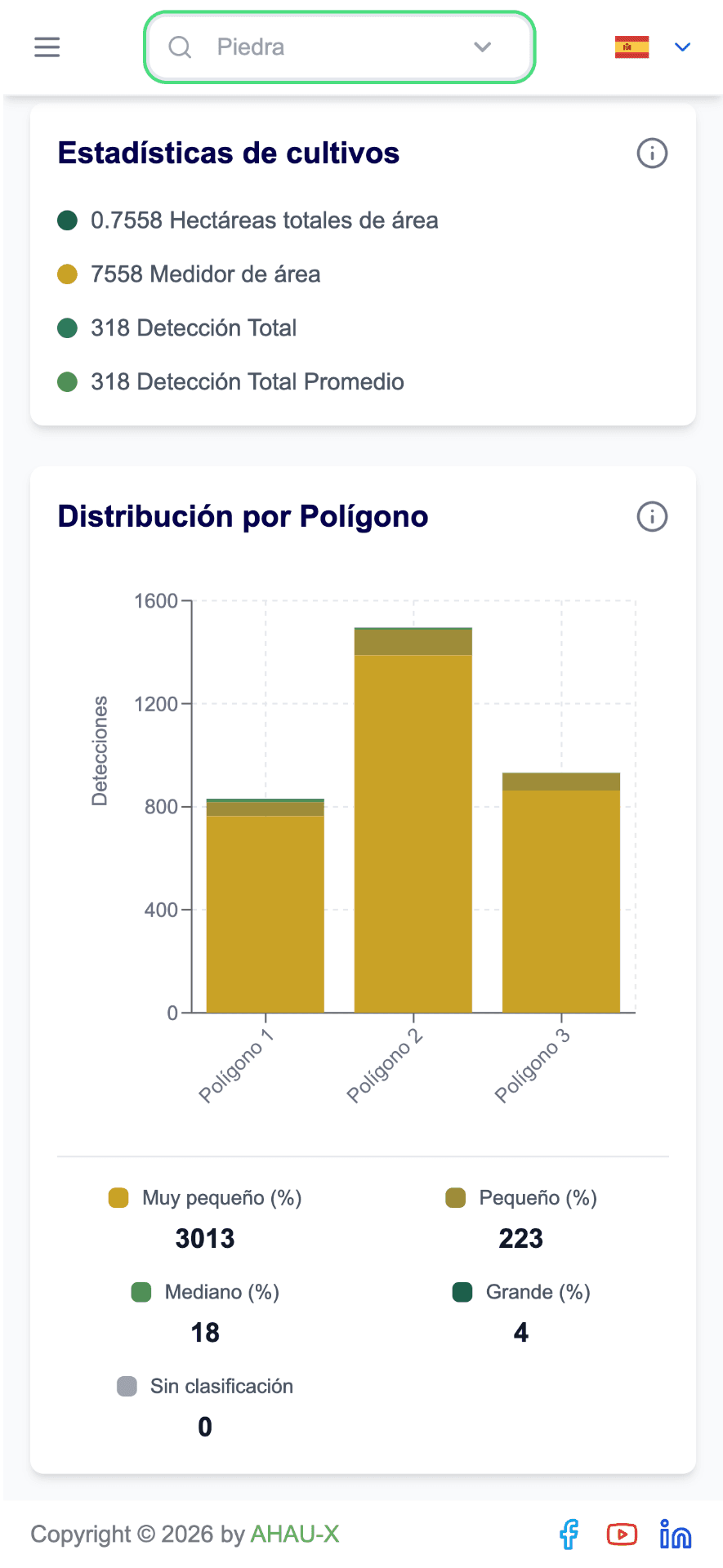
shows you the field.
Layers, coordinates and maps. The reading, the counting and the decision are still your job.
understands it for you.
Custom reports, ready for the field. GeoPDF in one click.
We are not a GIS. We are the layer that makes it operational.
And it connects with the tools you already use in the field.


The operating system for agricultural intelligence.
Models, analysis, maps and reports in a single platform. In your office or out in the field, always the same intelligence.
Choose Your Subscription
Enjoy 7 days free and discover the full potential of Kaax.
Essential Plan
Free
Free
Use Kaax to deploy your own artificial intelligence models on satellite or drone imagery.
- 2 hectares per month for analysis
- 50 additional hectares upon registering in Kaax
- Access to the interactive Dashboard
- Upload of custom polygons
- 1 custom model
- 1 project in Kaax Labeling
- Labeling tools for detection models
- Up to 5 fields per account
- Tools for object detection (plants, pests, weeds, etc.)
Pro Agri Plan
7-day free trial
$25/month
Designed for farmers, agronomists and technical teams that require consistent analysis volumes and workflow automation.
- Up to 1,500 hectares per month for analysis
- Up to 5 custom models
- 5 projects in Kaax Labeling
- Up to 45 fields per account
- Access to the API to automate workflows
- Auto-labeling in Kaax Labeling with your models
- Standard support
- Tools for object detection (plants, pests, weeds, etc.)
Advanced Plan
7-day free trial
$55/month
For agricultural operations that need high processing capacity, more models and unlimited professional labeling workflows.
- Up to 3,500 hectares per month for analysis
- Up to 8 custom models
- Unlimited local projects in Kaax Labeling
- Up to 150 fields per account
- Access to the API to automate workflows
- Auto-labeling in Kaax Labeling with your models
- Standard support
- Tools for object detection (plants, pests, weeds, etc.)
Enterprise Plan
Free pilot plan
Custom
Includes everything from the other plans and is tailored for agro-industrial companies and large-scale producers looking for a fully integrated solution-from custom AI model creation to seamless field deployment.
- Support for hundreds of thousands of hectares per year
- Custom model development and training
- Direct implementation in the field
- Integration with machinery and internal systems
- Perfect for tasks like sugarcane replanting
- Dedicated support
- Up to 84% savings in replanting analysis operations
Turn your first image into a decision.
Create your account, upload a capture and get results today. No installs and no contracts.
Ready in minutes · Results the same day